ABOUT MLAVA SPRING AND BELJANICA - ENGLISH
ABOUT MLAVA SPRING (VRELO MLAVE)
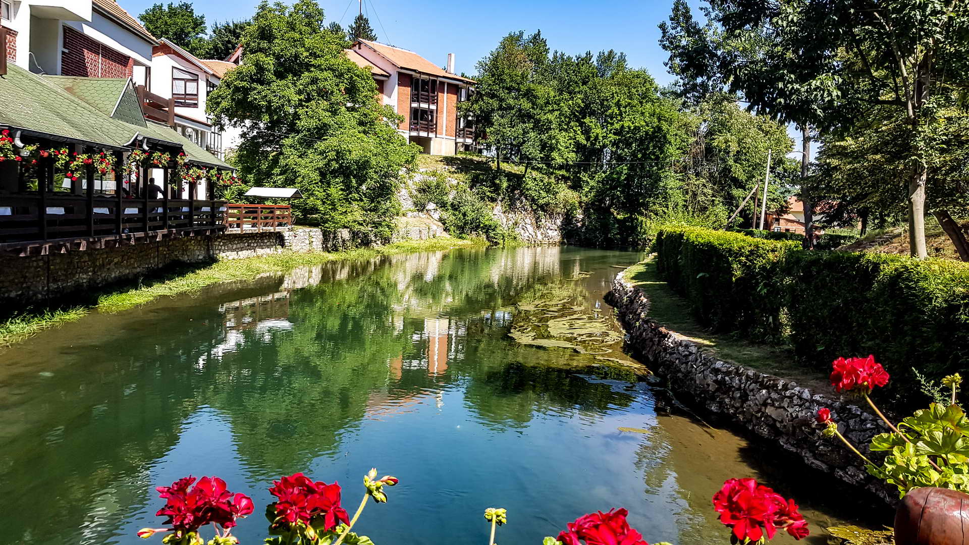
The Spring of Mlava is located in Žagubica itself, sat at the foot of the northern slopes of mountain Beljanica at 314 meters above the sea level.
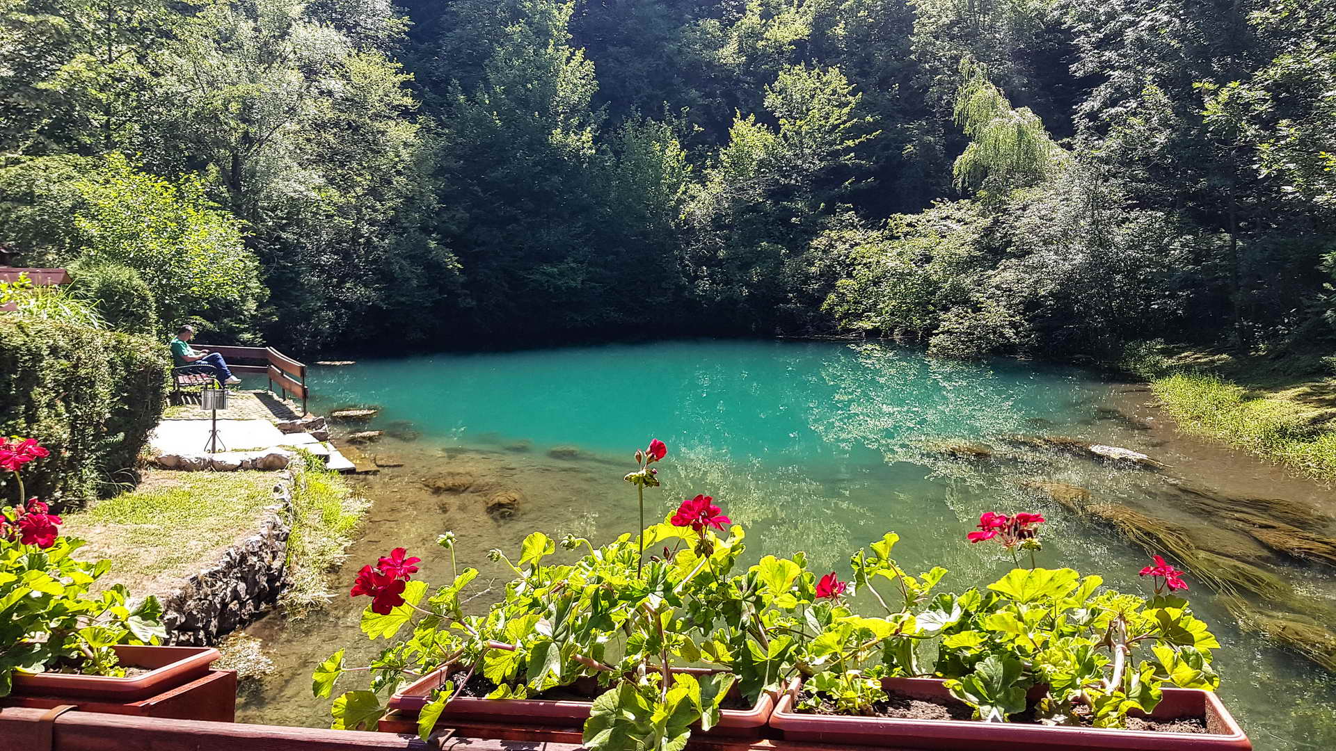
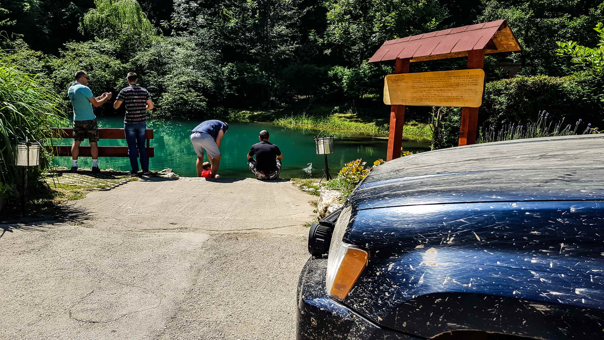
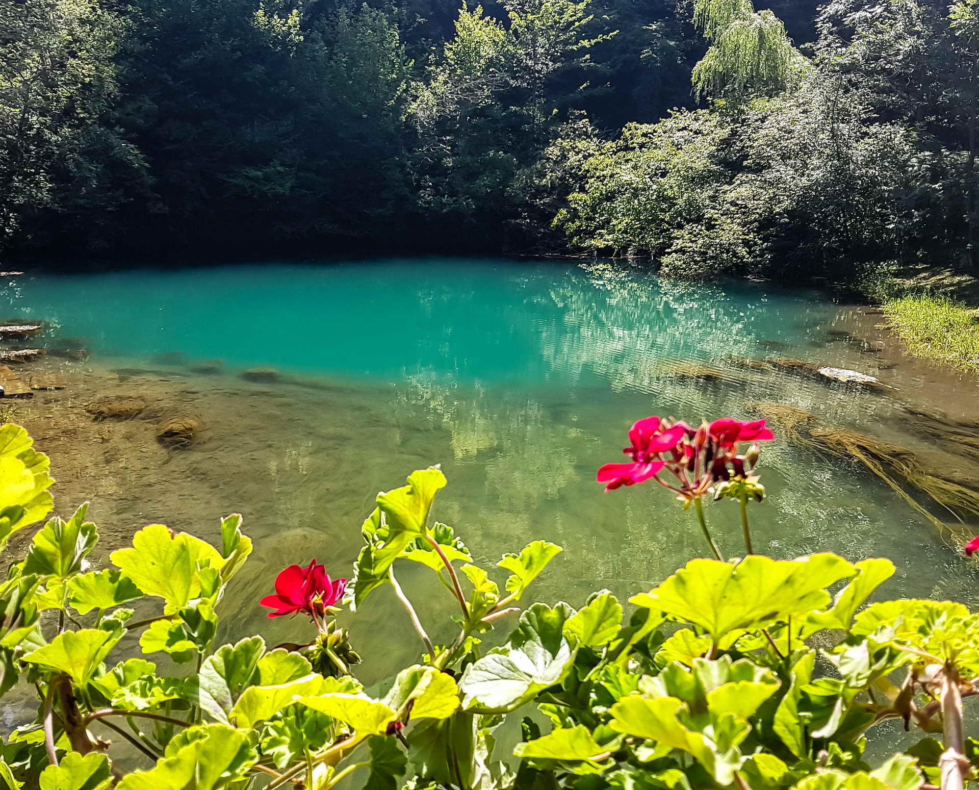
The spring of Mlava is actually in a form of a well that the river Mlava springs from. It is situated in a natural amphitheatre, which opens towards west into a small valley that the water flows away through.
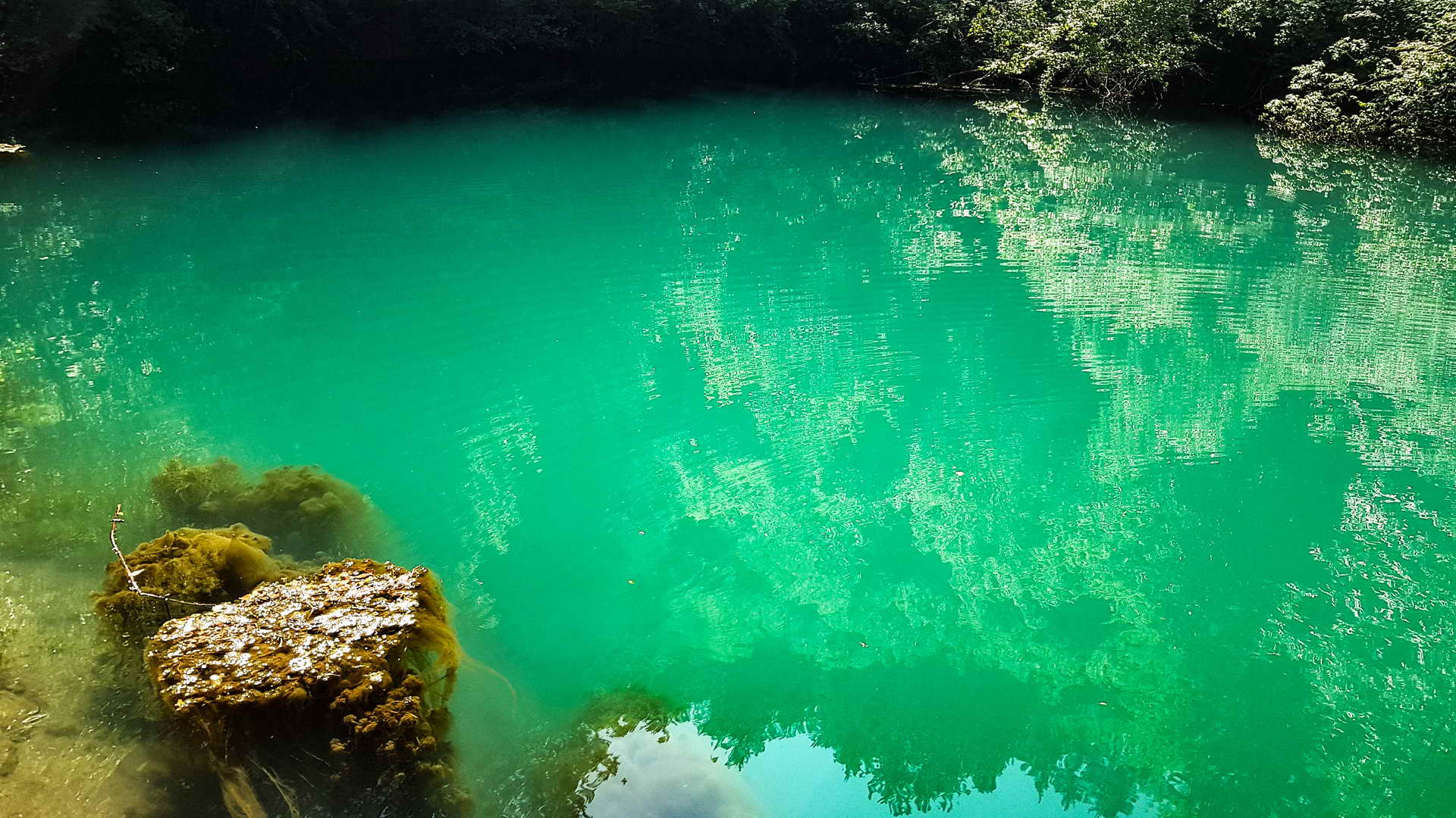
Spring of Mlava is some 30 meters wide, and due to great depth, the water has a dark green colour. The divers have descended to the depth of around 74 meters but haven’t managed to get to the bottom of the well, so that the actual depth of the well still remains unknown.
The beauty and appeal of Žagubica spring is complemented by the forested surroundings and the beautifully landscaped coniferous forest that reach down to the very spring, giving it a dark green colour.
In order to preserve the complex, the spring and its surroundings were placed under protection as an important Category I hydrological monument.
ABOUT BELJANICA (1339m)
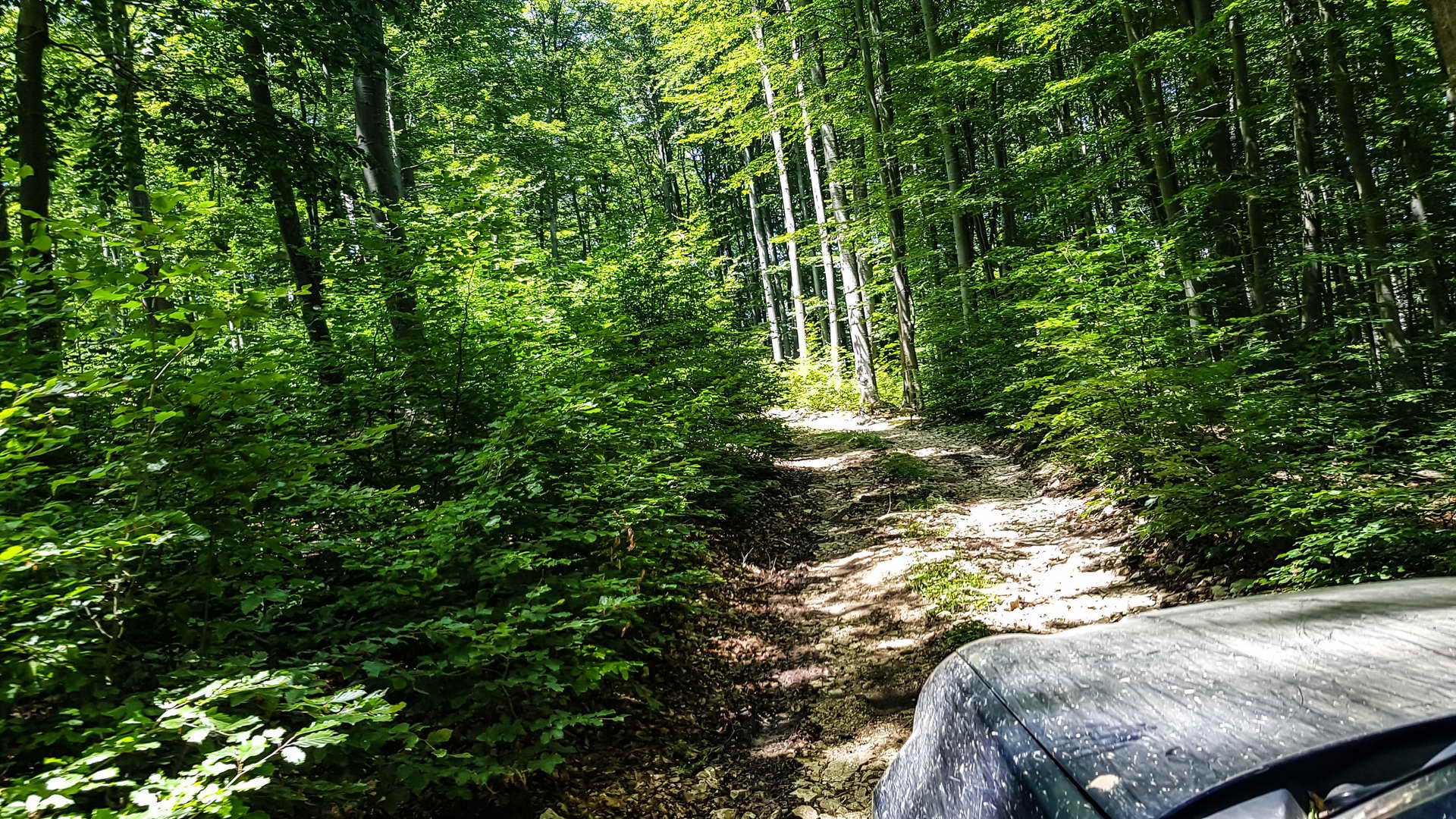
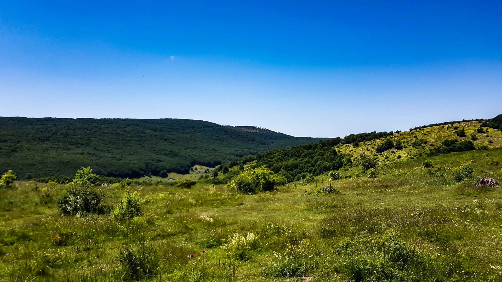
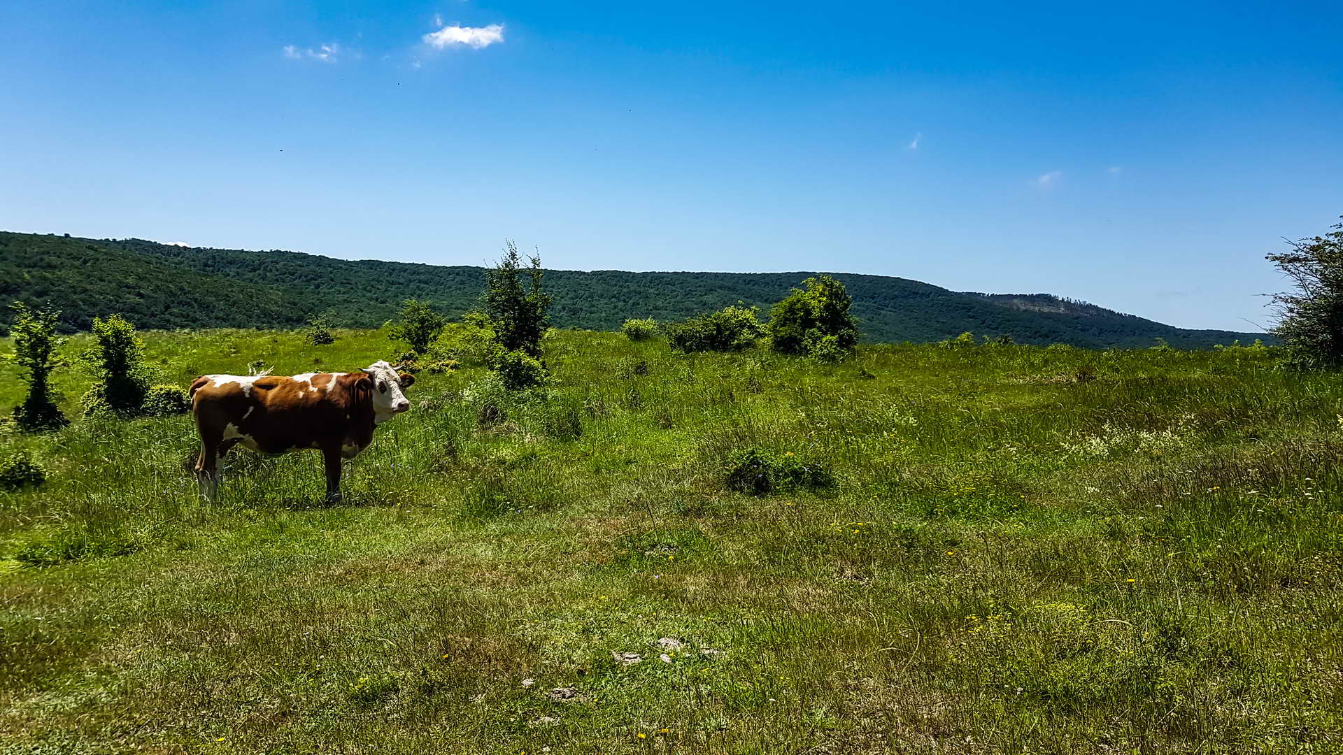
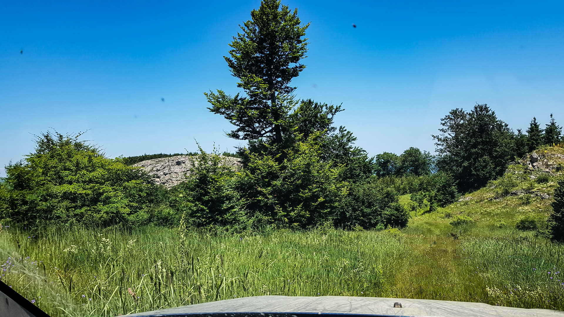
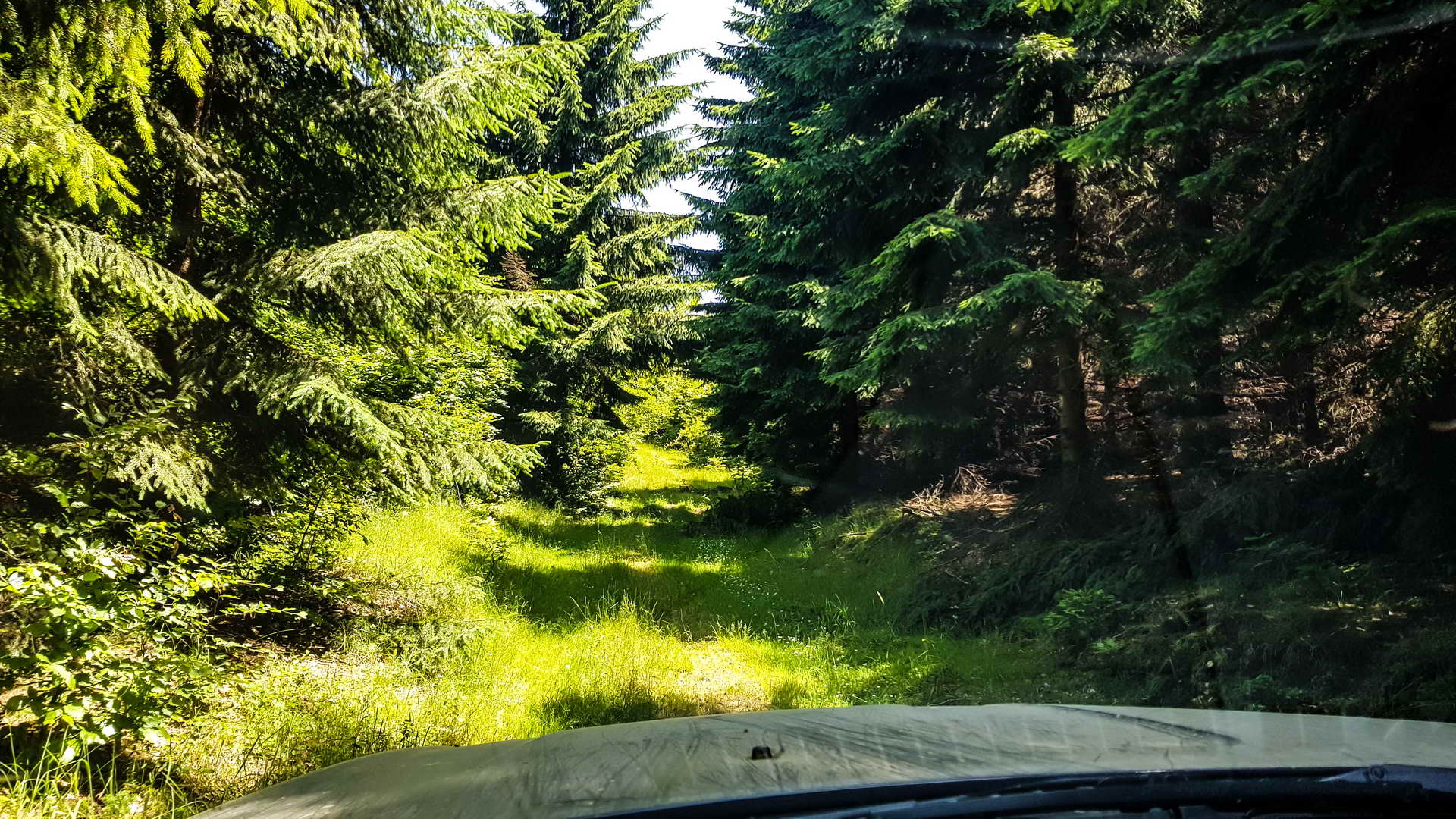
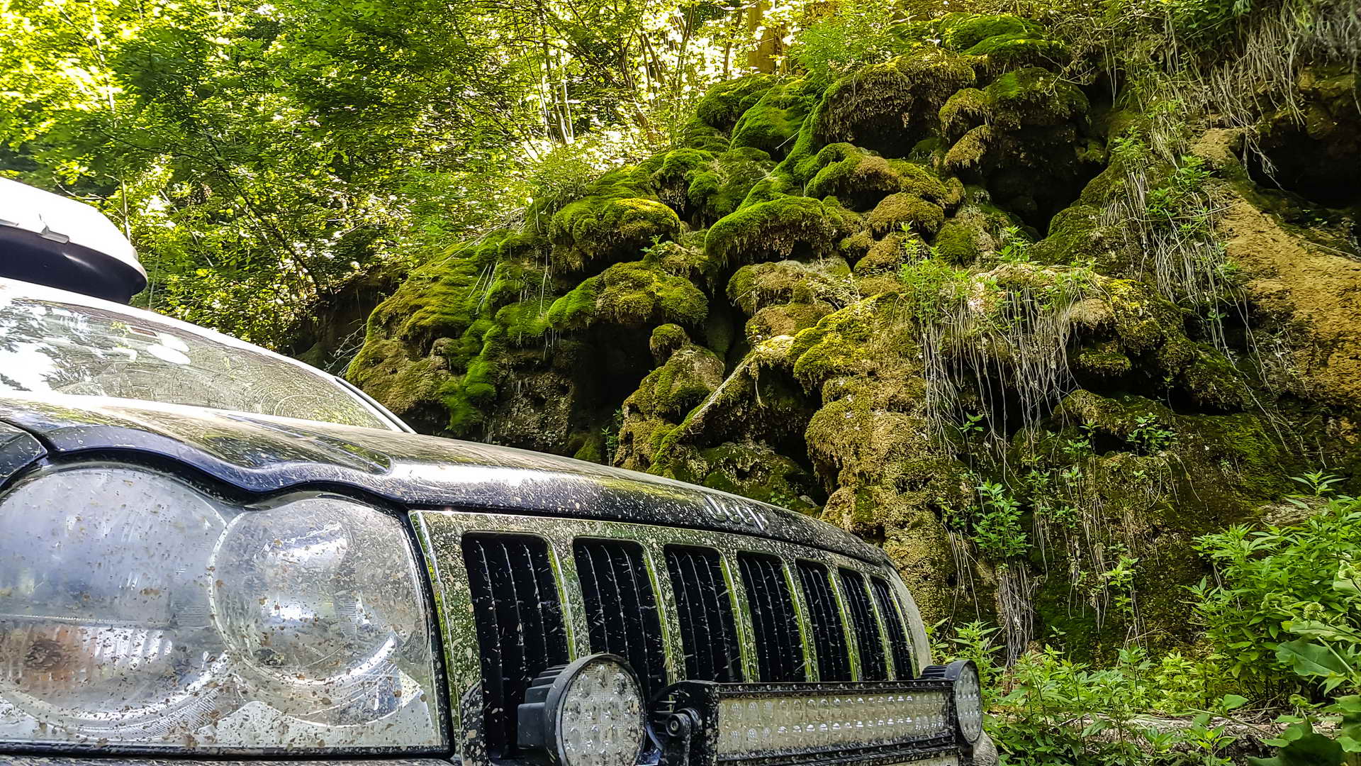
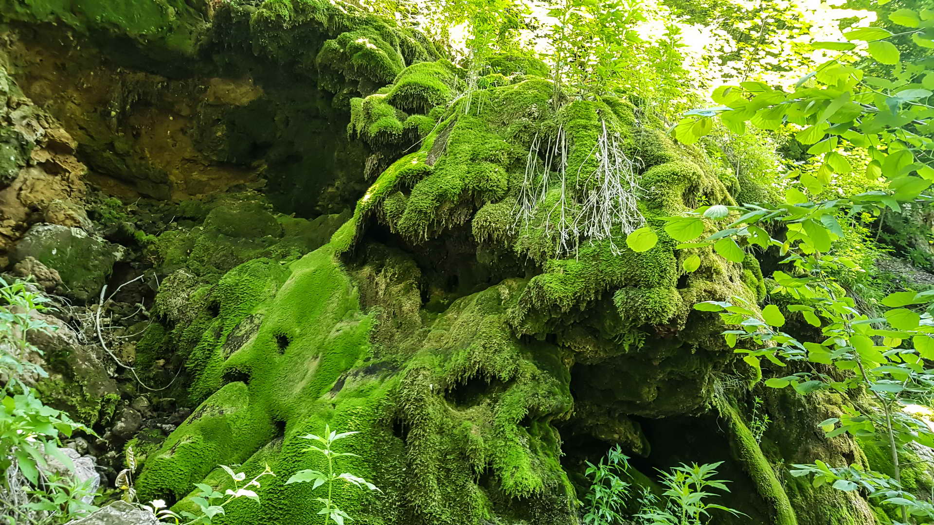
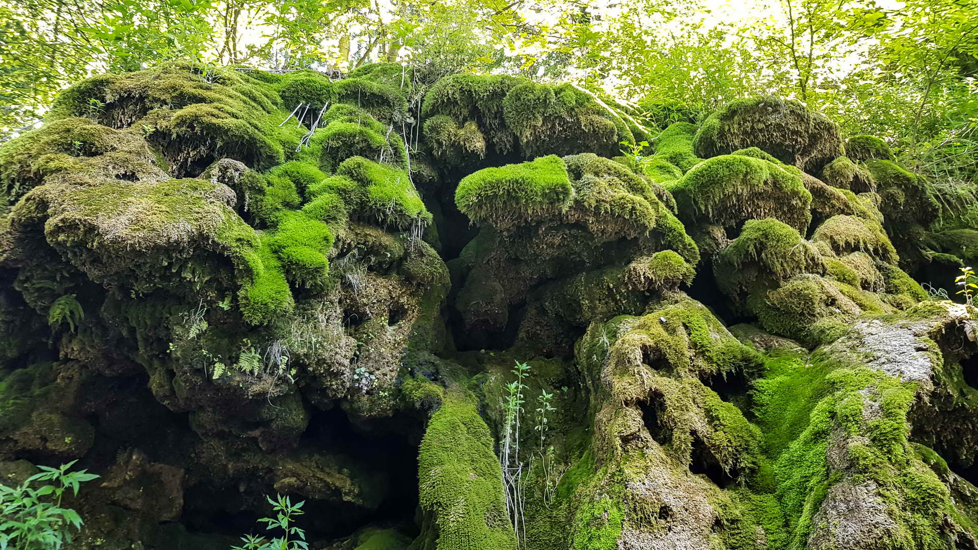
Beljanica Mountain divides Homolje and Resava regions in Eastern Serbia with its 1000 meters high ranges. The highest peak is 1339 meters high. The immense carst feature of Beljanica Mountain created numerous caves and caverns. The central plateau is mostly without vegetation while slopes of Beljanica Mountain are covered with oak and beech forests that sometimes make true rain-forests.
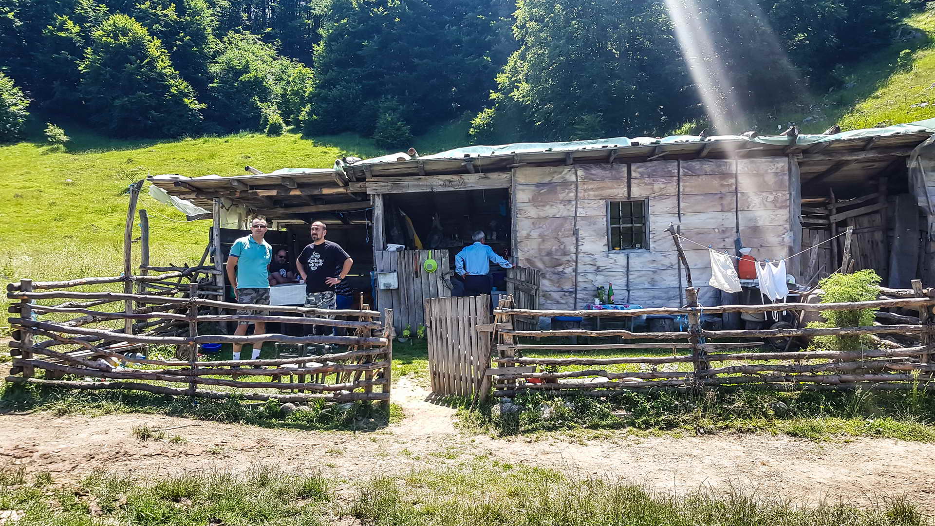
Within the tall trees of Beljanica Mountain there are many mushrooms. Probably Beljanica Mt got its name after white rocks shining in the sun without trees situated above the dense black forests. There are many springs located mostly in the lower parts of Beljanica Mountain. There are also many shepherds’ logs since the mountain is rarely populated and there are not constant settlements. Manasija Monastery and Resava Cave are the most important tourist attractions. Heading from Despotovac on the west towards Zlot village on the east and from Zagubica on the north to Cestobrodica village on the south one can discover the area of Kucaj and Beljanica and Malinik that covers about 2500 m2 entirely uninhabited territory that is the largest wilderness in Serbia.
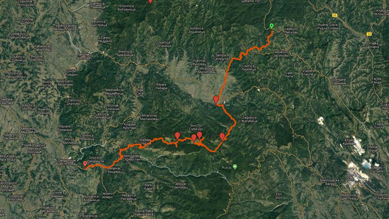
In summer Beljanica Mountain and its surroundings is usually visited by hunters and woodcutters while this rough part of Serbia is immediately deserted with the first snows and let to its ordinary settlers – wolves, beard, wild boars and roe deer that make snow paths through the thick snow. The huge horizons of this region is completely invisible to the urban visitor being fully virtual for him. You need full three summer days to trek along Beljanica Mountain from one of its part to another and you will feel like thousands of kilometers far from civilization. Diversified natural beauties are just astonishing and make unique discovery. In Beljanice Mountain region you will find karts massifs with intense features /caves, caverns/ and finely carved mountain ranges forming extraordinary geo-morphologic and biologic dynamics. Here there is the Canyon of Lazar’s River, the most famous river canyon in Serbia as well as canyons of numerous rivers /Resava, Klocanica, Radovanska, Suvi Do, Tisnica Rivers/. Here there are several mountain plateaus among them Stobori that represents the most wild part of Serbia due to its caverns and also the vast area of forests with dynamic changing of coniferous and deciduous forests. Krupajsko vrelo /Krupaj spring/, the uniquely magnificent creation of nature and one of the most interesting karst springs in Serbia originates on the western side of Beljanice Mountain at the altitude of 220 meters.
One thing is very fine with this unique setting of Beljanica Mountain – the fact that it is very easy accessible being only 150 km away from Belgrade and 20 km from the main highway connecting Belgrade and Macedonia. You can make one-day trip to this beautiful mountain as well. The range of Samanjac Mt. and the pyramidal shape of breath-taking Rtanj Mountain make logical end of this region where you can truly enjoy in all of its natural benefits.
VRELO MLAVE I BELJANICA - SRPSKI
VRELO MLAVE
Vrelo Mlave je turistička atrakcija Homolja. Nalazi se u samoj Žagubici, ispod severnih obronaka planine Beljanice, na nadmorskoj visini od 314 metara i predstavlja malo jezero odakle izvire reka Mlava. Nalazi se u prirodnom amifiteatru, koji se u pravcu zapada otvara u kratku dolinu kojom otiče voda. Vrelo Mlave ima nekih 30-tak metara u prečniku, a voda, usled velike dubine, ima tamnozelenu boju. Ronilačke ekipe spustile su se do dubine od oko 74 metara, ali nisu dospeli do dna vrela, tako da je dubina ovog jezerceta i danas nepoznata.
BELJANICA
Planina Beljanica, svojim preko 1000 metara visokim grebenom razdvaja Homolje od Resave. Najviši vrh planine Beljanice je Beljanica, visine 1339 metara. Kraški sastav Beljanice je uzrokovao prisustvo mnogobrojnih vrtača, jama, uvala i pećina. Centralna visoravan Beljanice je uglavnom gola, a padine su pokrivene bukovim i hrastovim šumama, koje su povremeno i prašumskog tipa. U senkama velikih stabala Beljanice ima dosta pečuraka, naročito vrganja. Moguće je da je Beljanica dobila ime zbog golih belih stena, koje iznad gustih tamnih šuma blješte na suncu. Beljanica ima dosta izvora, ali uglavnom na nizim delovima planine. Brojne su pastirske kolibe, ali stalnih naselja nema. Najveće znamenitosti beljaničkog kraja svakako su manastir Manasija i Resavska pecina. Krenuvši od Despotovca na zapadu do Zlota na istoku i od Žagubice na severu do Cestobrodice na jugu, područje Kučaja, Beljanice i Malinika zahvata oko 2500 kvadratnih kilometara potpuno nenaseljene teritorije, što je najveći kontinuirani komad divljine u Srbiji. Leti pohodjen uglavnom od strane drvoseča i lovaca, sa prvim snegom ljudi napuštaju ovaj predeo surove klime i prepuštaju ga njegovim iskonskim stanovnicima – vukovima, medvedima, divljim svinjama i divokozama, da do proleća jedini prave prtinu kroz smetove. Ogromnost ovog prostora je gotovo nesaglediva, potpuno apstraktna za gradskog čoveka. Pešice su vam potrebna tri duga, lepa letnja dana da biste pregazili Beljanicu s jednog kraja na drugi, osećajuci se na momente kao da ste hiljadama kilometara udaljeni od civilizacije. Raznovrsnost prirode Beljanice potpuno razoružava i ostavlja bez daha svakog posetioca, predstavljajući pravo otkrovenje. Na ovom prostoru smenjuju se krečnjački masivi sa izrazitim kraškim odlikama (vrtače, jame, pećine) i fino izvajani, dugi grebeni od vodoodrživih stena, stvarajući izuzetnu geomorfološku i biološku dinamiku. Tu se nalazi i možda najčuveniji kanjon u Srbiji, Lazarev kanjon, kao i brojni drugi kanjoni (Resave, Kločanice, Radovanske reke, Suvi Do, Tisnica…), zatim nekoliko kraških platoa (od kojih Stobori predstavljaju najljući krš u Srbiji, prepun skrapara i vrtača), ali je tu i najveće šumsko prostranstvo, gde se dinamično smenjuju listopadne i četinarske sume. Krupajsko vrelo, veličanstvenao vodeno delo prirode i jedno od najzanimljivijih kraških vrela u Srbiji, izvire na zapadnoj strani Beljanice, na nadmorskoj visini od 220 metara.
Dodatnu atraktivnost ovom prostoru daje činjenica da je on iz smera Beograda veoma lako pristupačan, jer je tek dvadesetak kilometara udaljen od autoputa Beograd – Niš, a ukupno oko 150 km od Beograda, što znači da vrlo lako možete doći na Kučaj, čak i na jednodnevne ture, ukoliko ne možete da odvojite više vremena. Greben Samanjca i velicanstvena kupola Rtnja čine logičnu celinu sa prostorom Beljanice, dodatno pojačavajući kontraste i nudeći jednako živopisne i pešačke uspone.
